 Map of the Universe
New Horizons
Spacecraft · NASA spacecraft (2006–present)
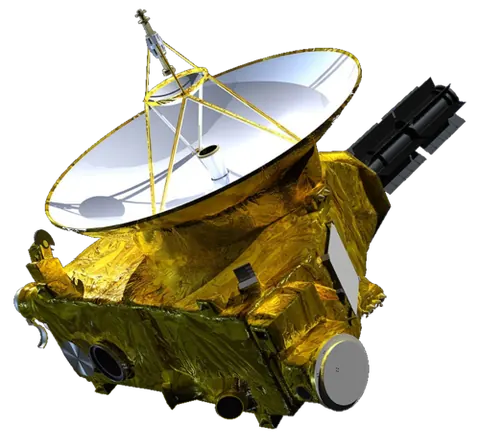
About New Horizons
On 2026-01-01, the date the map shows, New Horizons was 63.6 AU from the Sun; sunlight takes 8.81 hours to reach it.
The map lists it as a spacecraft and shows it in the Solar System part of the map, drawn on the plane of Earth’s orbit (the ecliptic).
Key numbers
| Distance from the Sun | 63.6 AU |
|---|
Where it is
Its place in the universe, from the inside out: Solar System › Orion–Cygnus Arm (Local Arm) › Milky Way › Local Group › Virgo Supercluster › Laniakea Supercluster › Observable universe.
Zoom out to see it in context: Heliopause and Voyagers, a view about 400 AU across.
From Wikipedia
New Horizons is an interplanetary space probe launched as a part of NASA's New Frontiers program. Launched in 2006, it became the first spacecraft to perform a flyby study and capture high-resolution photographs of Pluto and its moons during its encounter.
Excerpt from the Wikipedia article New Horizons, licensed CC BY-SA 4.0.