 Map of the Universe
Corona Borealis Supercluster
Supercluster · Supercluster in the constellation Corona Borealis
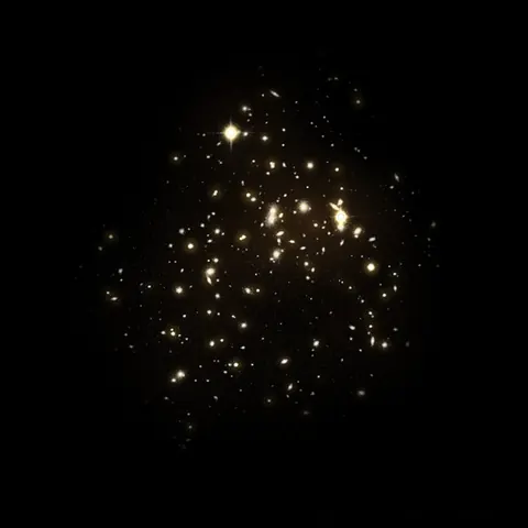
About the Corona Borealis Supercluster
The light we see from it set out 0.975 billion years ago, when the universe was 12.8 billion years old (redshift 0.071).
The map lists it as a supercluster and shows it at the scale of the large-scale universe, drawn on the supergalactic plane.
Key numbers
| Distance (comoving, today) | 1.01 billion light-years (309 Mpc) |
|---|---|
| Redshift z | 0.071 |
| Light travel time | 0.975 billion years |
| Universe's age when this light left | 12.8 billion years |
| Distance method | redshift (Planck 2018 cosmology) |
| Supergalactic coordinates | SGL 93.2°, SGB +39.6° |
| On the map | The dashed circle marks its approximate size around its centre. Structures this large have no sharp edge, and the circle is not drawn to an exact shape. |
| Size | about 326 million light-years across |
Where it is
Its place in the universe, from the inside out: Observable universe.
Zoom out to see it in context: Nearby superclusters, a view about 2.3 billion light-years across.
From Wikipedia
The Corona Borealis Supercluster is a supercluster located in the constellation Corona Borealis and the most prominent example of its kind in the Northern Celestial Hemisphere. Dense and compact compared with other superclusters, its mass has been calculated to lie somewhere between 0.6 and 12×1016 solar masses (M☉).
Excerpt from the Wikipedia article Corona Borealis Supercluster, licensed CC BY-SA 4.0.
Nearby on the map
- Ho'oleilana Large-scale structure
- Abell 2029 Galaxy cluster
- IC 1101 Galaxy
- Boötes Void Cosmic void
- Hercules Cluster Galaxy cluster
- Hercules Supercluster Supercluster